Tag Archives: Photos

Partial lunar eclipse (April 2013)

At 22:20 CEST I tried to take a photo of today’s partial lunar eclipse

Partial lunar eclipse (April 2013)

Partial lunar eclipse (April 2013)

Posted in General | Also tagged | Comments closed

Skiing in Wagrain and Zauchensee 2013

This year is the first one since 2008, when I didn’t participate in SSB part of CQ WPX contest. Instead, I went with my family for a short skiing holiday to Zauchensee and Wagrain – Austrian ski resorts, located to the south of Salzburg. I liked it a lot and would like to show you a few photos I took there…

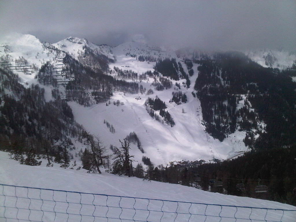
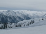
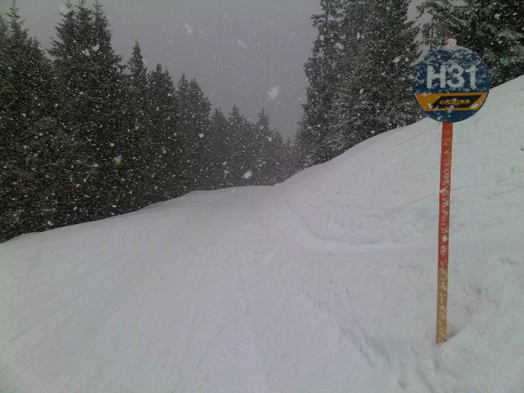
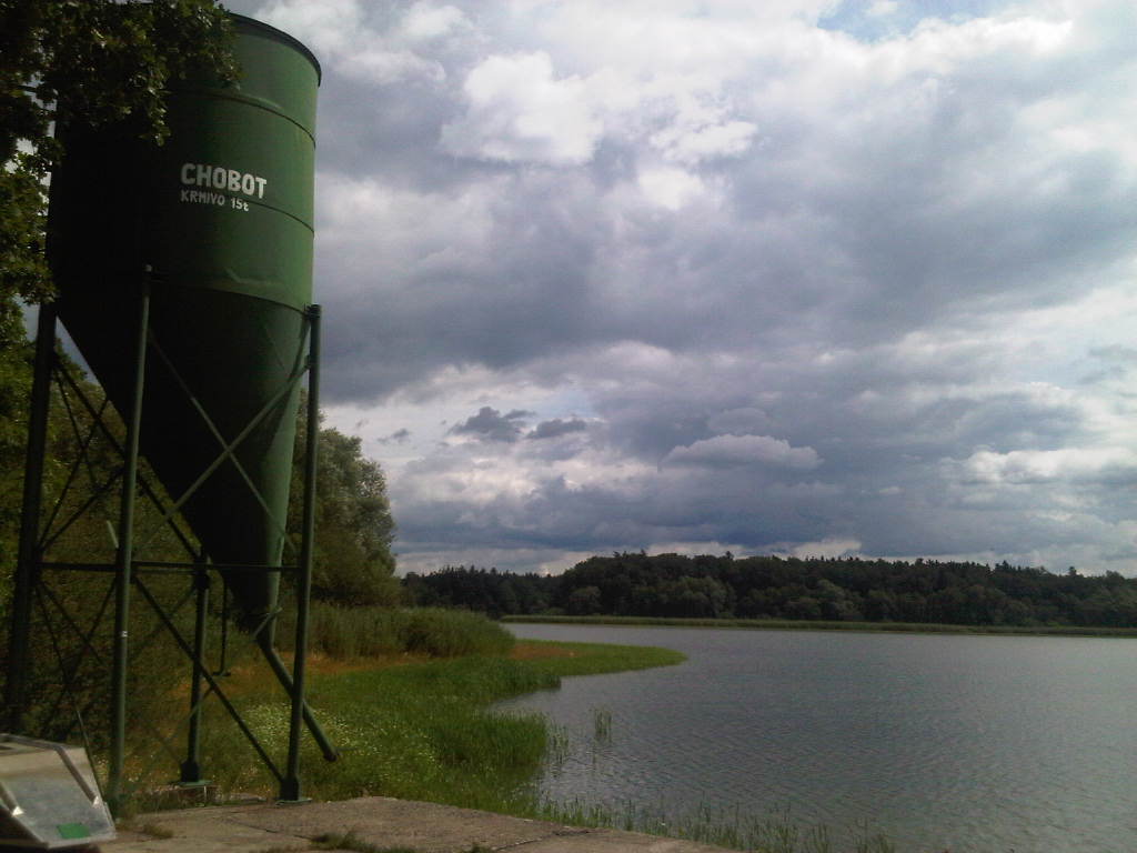
On the 1st day we visited Zauchensee – probably my most favorite ski resort of all. However, the weather there wasn’t exactly great for taking photos, which is why I didn’t even bother carrying a camera and took only couple of pictures with my cellphone.

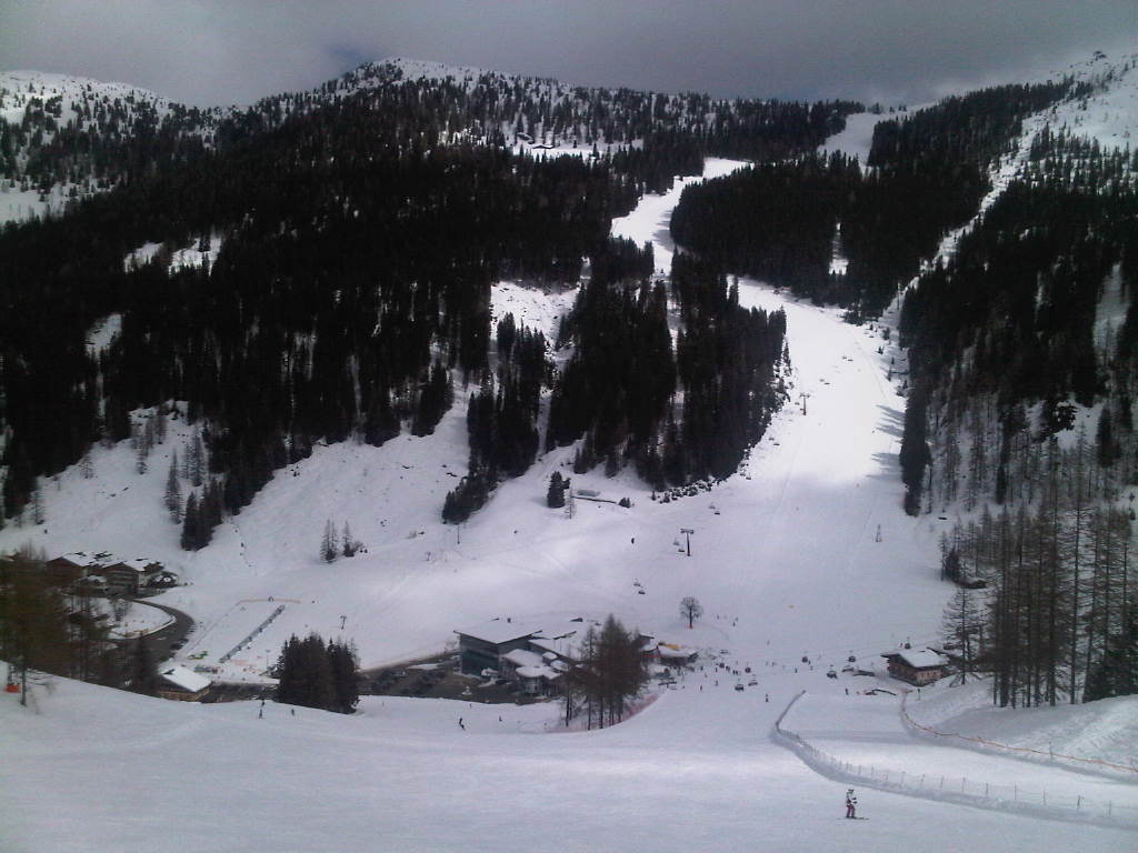
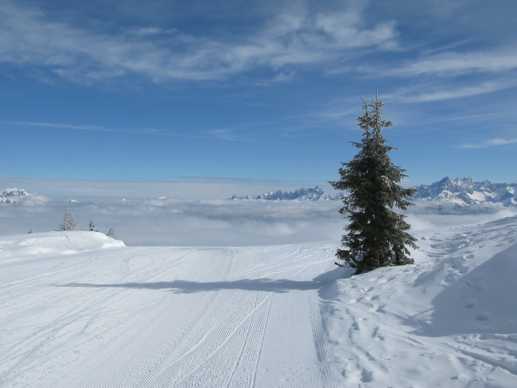
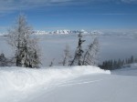
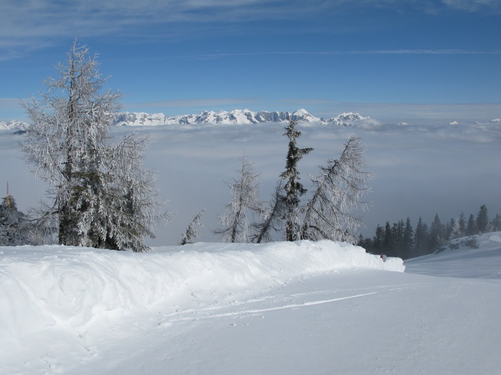
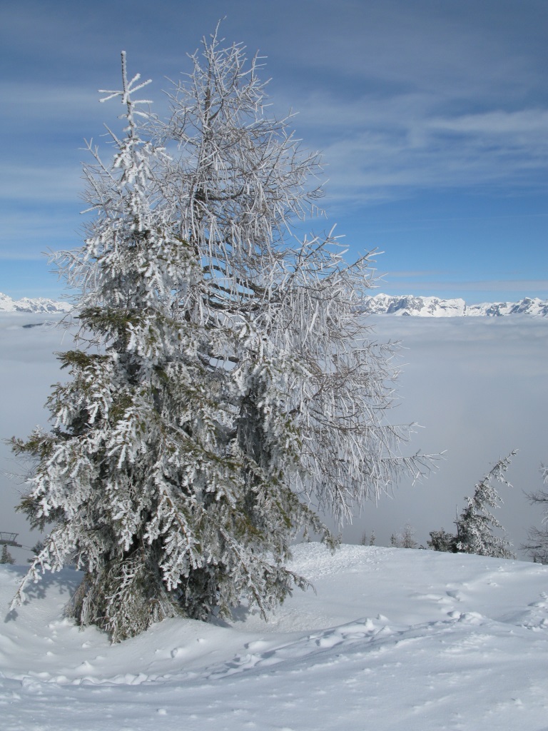
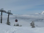
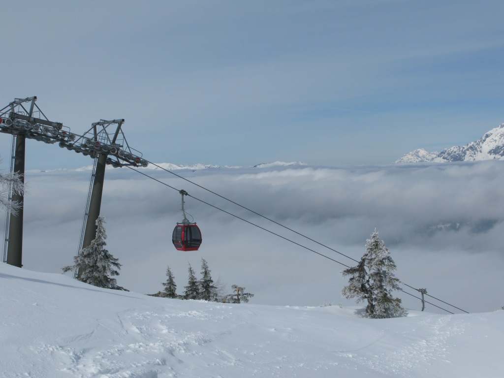
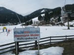
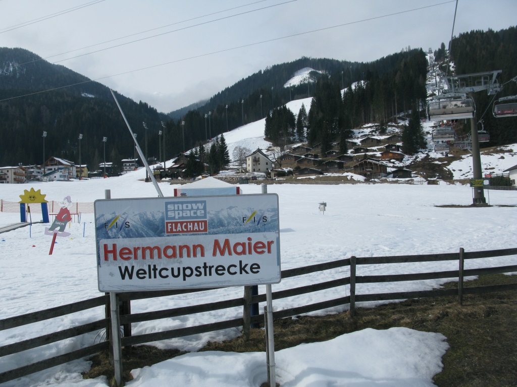
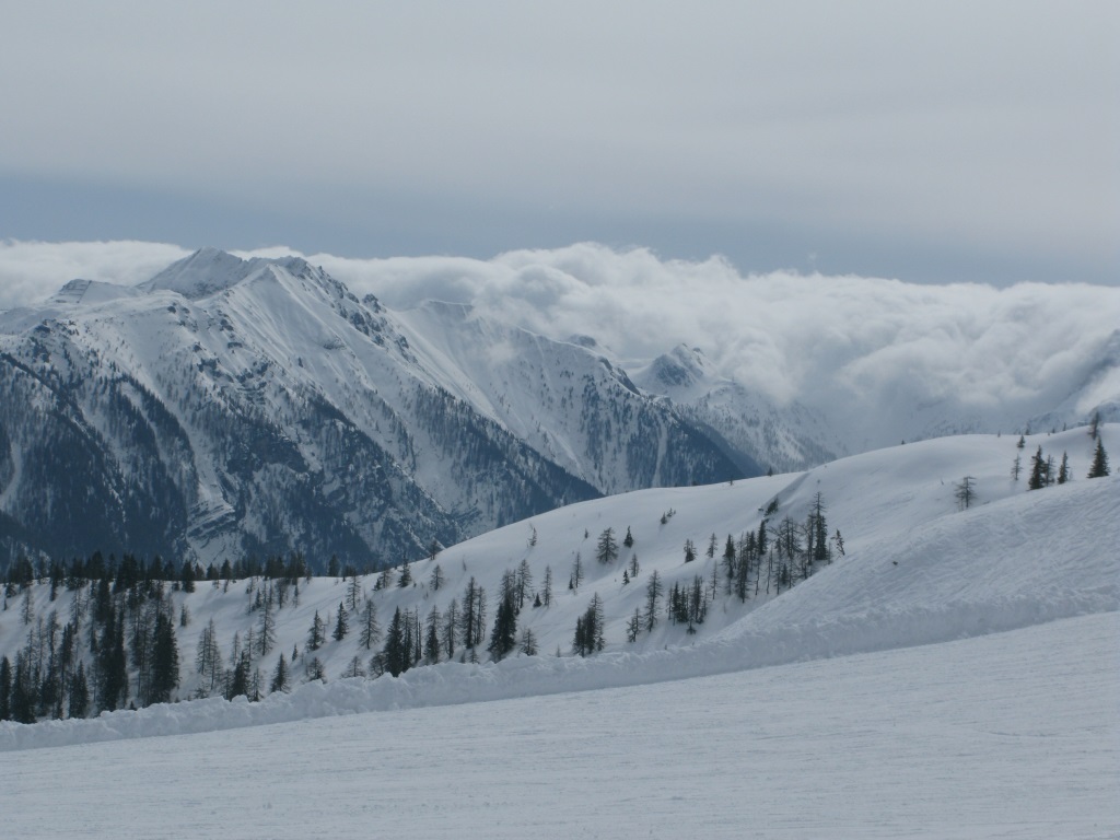
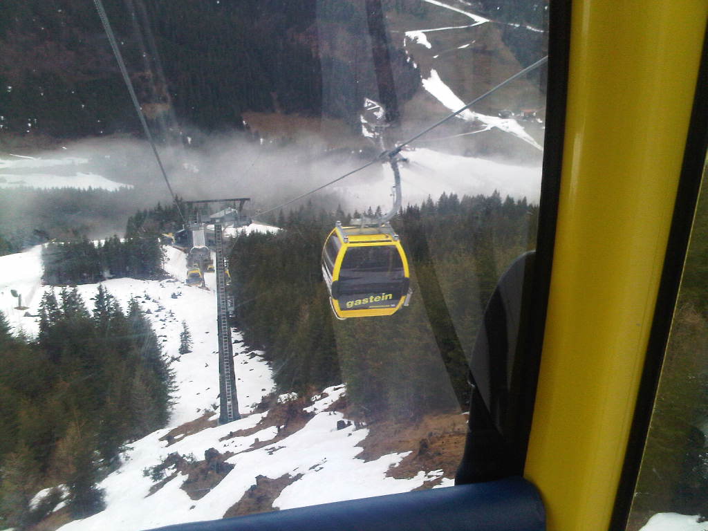
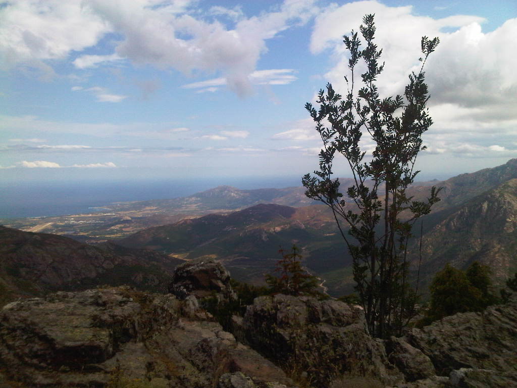
Our second skiing day we spent on Griessenkareck, in ski resort Wagrain / Flachau. Weather was beautiful: especially in the morning – sun was shining on the top of the mountain and fog and clouds were BELOW us…
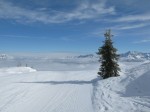
Last skiing day we spent in Grafenberg – unfortunately, there was dense fog and snowing, so I didn’t take any photos there…

Posted in Travelling | Also tagged , | Comments closed

Happy and Prosperous New Year 2013!

PF 2013 de OK1CLD

PF 2013 de OK1CLD

Posted in General | Also tagged | Comments closed

12 Mobile Photos Taken in 2012

Today I browsed through photos I’ve taken with my cell phone during the ending year. Some look quite well, so I decided to publish them here (and to take mobile photos more often during the next year).

(Plus, I also wanted to try the WordPress gallery feature… )

Posted in General | Also tagged , , | Comments closed

Corsica 2012 – Back Home

On Sunday 29th we started returning home. In the morning we packed our tent and left the camp, going to 10:00 bus heading via Bocca e Croce/Col de la Croix to Calvi. The bus was leaving from a stop opposite a photographer’s place and ticket cost 16 Euro for one.

Bastia -> Genova ferry

Bastia -> Genova ferry

The trip was quite pleasant, especially seeing the places we walked around in a past dew days – Curzu village, Bocca e Croce pass and Fango river. The bus arrived to Calvi on time (as far as I remember), at 12:30. There we bought something for lunch and went to Place de la Porteuse d’eau (the same place from which we went a week ago to Calenzana) to wait for 14:00 bus to Bastia.

Read More (+ waypoints, photos) »

Posted in Corsica 2012, Travelling | Also tagged , , | Comments closed

Corsica 2012 – Calanche

Since we originally supposed getting from Curzu to Porto would take us 2 days, not just one, we had a free day in Porto. Of course we didn’t want to just spend it on the beach, so I made an improvised plan for a trip to Calanche, probably the most well-known natural sight of Corsica.

Start Finish Distance Max. elevation Min. elevation Track record
Piana Porto 15.3 km 744 m 0 m GPX file

Unfortunately, when we woke up on Saturday morning it was raining:-( Lukáš decided to stay in the camp and I set out for the trip alone.

Near Châtaigneraie de Palani

Near Châtaigneraie de Palani

Read More (+ elevation diagram, waypoints, photos) »

Posted in Corsica 2012, Travelling | Also tagged , , , | Comments closed

Corsica 2012 – TMM: “Curzu –> Porto”

On Friday, just like on the two previous days, we set out on the track shortly after half past six. Our plan was a shorter stage from Curzu to village of Serriera – however, things turned out a little differently at the end.

Start Finish Distance Max. elevation Min. elevation Track record
Curzu Porto 18 km 414 m 0 m GPX file

Our hike started by 100 meters ascent from gîte to the upper part of village, from where the Tra Mare e Monti continued its way to the west. For the kilometer and half, the path kept going up, until it reached the highest point of the today’s stage – 414 m ASL. From this part of the track, there was a beautiful view to the Golfe de Porto bay.

Serriera

Serriera

Read More (+ elevation diagram, waypoints, photos) »

Posted in Corsica 2012, Travelling | Also tagged , , , | Comments closed

Corsica 2012 – TMM: “Girolata –> Curzu”

Waking up early really paid off the day before, so we decided to do the same on Thursday and set out for a track at half past six. Our target for the day was village of Curzu located  above the Golfe de Porto bay.

Start Finish Distance Max. elevation Min. elevation Track record
Girolata Curzu 11.3 km 696 m 0 m GPX file

First part of the trail led us from Girolata up to Bocca Ghjianibarellu pass, located at 182 m ASL. The ascent wasn’t very steep and soon, after a little more than 30 minutes, we were on the top. From the place, there was an amazing view down to Girolata village and to red rocks behind it, beautifully lit by morning sun.

Girolata (from Bocca Ghjianibarellu)

Girolata (from Bocca Ghjianibarellu)

Read More (+ elevation diagram, waypoints, photos) »

Posted in Corsica 2012, Travelling | Also tagged , , , | Comments closed

Corsica 2012 – TMM: “Galéria –> Girolata”

On Wednesday we woke up very early, at 5 o’clock. The reason was the fourth stage was supposed to be quite difficult and we wanted to try to avoid the heat. As usually, our morning preparation took us a little more than hour and a half and at 6:40 we were on our track.

Start Finish Distance Max. elevation Min. elevation Track record
Galéria Girolata 14 km 768 m 0 m GPX file

At the beginning, the hike was quite easy, there was some ascent, but only very mild. After a little more than 1.5 kilometers, we came to a small water reservoir – it quite surprised me, somehow I thought the area was completely dry in summer…

Galéria (from path to Punta di a Literniccia)

Galéria (from path to Punta di a Literniccia)

Near the reservoir we also missed one marking and went along a wrong path for a while… So here’s a warning: if going from Galéria to Girolata, you have to see the water reservoir on the right side of you – if it’s on the left side, turn around and look for the orange markings more carefullly…

Read More (+ elevation diagram, waypoints, photos) »

Posted in Corsica 2012, Travelling | Also tagged , , , | Comments closed

Corsica 2012 – TMM: “Tuarelli –> Galéria”

Even though the third stage should’ve been much easier than the previous one, we decided to wake up at the same time as the day before, at 6 o’clock. Once again, packing took us about 90 minutes and shortly before 7:40 we left Tuarelli and set out to the west, along the river Fango.

Start Finish Distance Max. elevation Min. elevation Track record
Tuarelli Galéria 12.9 km 180 m 22 m GPX file

The first part of the hike was quite easy and very nice, with the beautiful views to the river and red rocks around it. After an hour and twenty minutes, we came to the place I’ve already been to – Ponte Vecchiu bridge over Fango. It’s really great spot (especially for swimming/bathing in river), worth even a bigger detour (e.g. from D 81 between Calvi and Porto).

Ponte Vecchiu bridge over Fango

Ponte Vecchiu bridge over Fango

After Tra Mare e Monti crosses the bridge, it goes for a while along the road (D 351 and then D 81) to Galéria. I didn’t like that part very much, luckily after just about 2 km long it ends in the lowest elevation point of Tuarelli – Galéria stage, at cca. 22 meters ASL. We got there at about 9:20, an hour and forty minutes after leaving camp.

Read More (+ elevation diagram, waypoints, photos) »

Posted in Corsica 2012, Travelling | Also tagged , , , | Comments closed